
-
×
 Taos Wilderness Areas Hiking Map
1 × $9.95
Taos Wilderness Areas Hiking Map
1 × $9.95


Smaller, lighter, affordable and accurate, the New Mexico Map Series is the key to years of New Mexico exploration on foot (or saddle).
These waterproof, tear-resistant topographic hiking maps cover Bandelier National Monument, Valles Caldera National Preserve and eight Wilderness areas (including Columbine-Hondo, Dome, Gila, Latir Peak, Manzano Mountain, Pecos, Sandia Mountain, and Wheeler Peak Wilderness areas). Purpose-designed with hikers and backpackers in mind, these maps are:
Waterproof and tear-resistant – designed for on-trail use in harsh conditions
Smaller – only 4″ by 7″ folded
Lighter – less than 2 ounces
Accurate, intuitive and easy-to-use
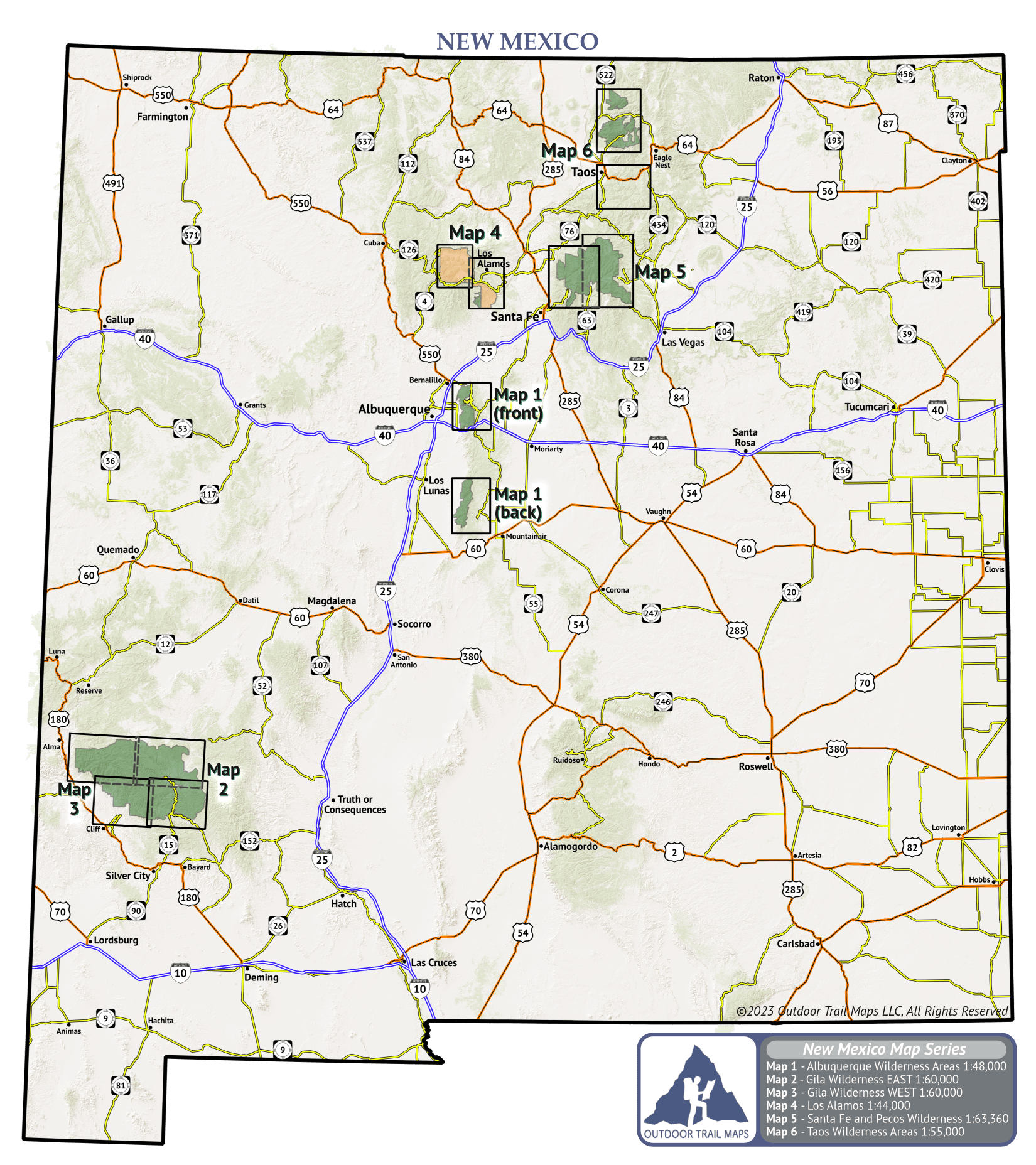
Click on the map of New Mexico to open a larger version.
This map shows the names and areas covered of each map in the New Mexico Map Series.

Featuring:


