Welcome to Outdoor Trail Maps LLC
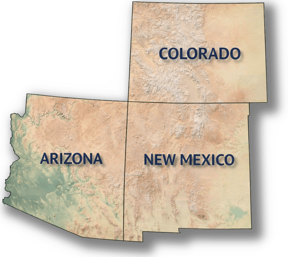
Since 2017, Outdoor Trail Maps has been dedicated to superior outdoor map products for hikers and all outdoor adventurers in Colorado – now for New Mexico and Arizona too. Click here to learn more about us!


Since 2017, Outdoor Trail Maps has been dedicated to superior outdoor map products for hikers and all outdoor adventurers in Colorado – now for New Mexico and Arizona too. Click here to learn more about us!


Featuring:

Featuring:

Use our Colorado Trail and Map Finder tool below to explore the hiking areas and trails to find your next outdoor adventure.
Choose how you want to search: by public lands, 14ers, topo maps coverage or just browsing. Select results on the map you’d like to know more about!


CO Wilderness Series Map Packs
Colorado Wilderness Series Vol 1 and Rocky Mountain National Park


Formed in 1994, Colorado Fourteeners Initiative began as a partnership of nonprofit organizations, concerned individuals and public agencies to preserve and protect the natural integrity of Colorado’s Fourteeners after rapidly expanding recreational use.
Today, CFI is the nation’s leading high-elevation trail-building, terrain-restoration, and visitor-education organization. Check out everything they do at 14ers.org and consider helping to support their mission today.