-
×
 Denver / Boulder Area Backpacking Map Set
2 × $22.95
Denver / Boulder Area Backpacking Map Set
2 × $22.95 -
×
 Gila Wilderness Map Pack: East Map and West Map
1 × $16.95
Gila Wilderness Map Pack: East Map and West Map
1 × $16.95 -
×
 Lost Creek Wilderness Hiking Map
2 × $8.95
Lost Creek Wilderness Hiking Map
2 × $8.95 -
×
 Vasquez / Byers / Ptarmigan Peak Wilderness Hiking Map
1 × $8.95
Vasquez / Byers / Ptarmigan Peak Wilderness Hiking Map
1 × $8.95 -
×
 The Hikers Map of Colorado - Wall Poster Map
1 × $24.95
The Hikers Map of Colorado - Wall Poster Map
1 × $24.95 -
×
 14ers Series Complete Map Pack - All 58 Colorado Fourteeners
1 × $69.95
14ers Series Complete Map Pack - All 58 Colorado Fourteeners
1 × $69.95 -
×
 Albuquerque Wilderness Areas Hiking Map
1 × $9.95
Albuquerque Wilderness Areas Hiking Map
1 × $9.95 -
×
 Rawah Wilderness Hiking Map
1 × $9.95
Rawah Wilderness Hiking Map
1 × $9.95 -
×
 Colorado Wilderness Series Vol 1 and Rocky Mountain National Park
3 × $84.95
Colorado Wilderness Series Vol 1 and Rocky Mountain National Park
3 × $84.95 -
×
 Maroon Bells-Snowmass Wilderness Hiking Map
1 × $8.95
Maroon Bells-Snowmass Wilderness Hiking Map
1 × $8.95 -
×
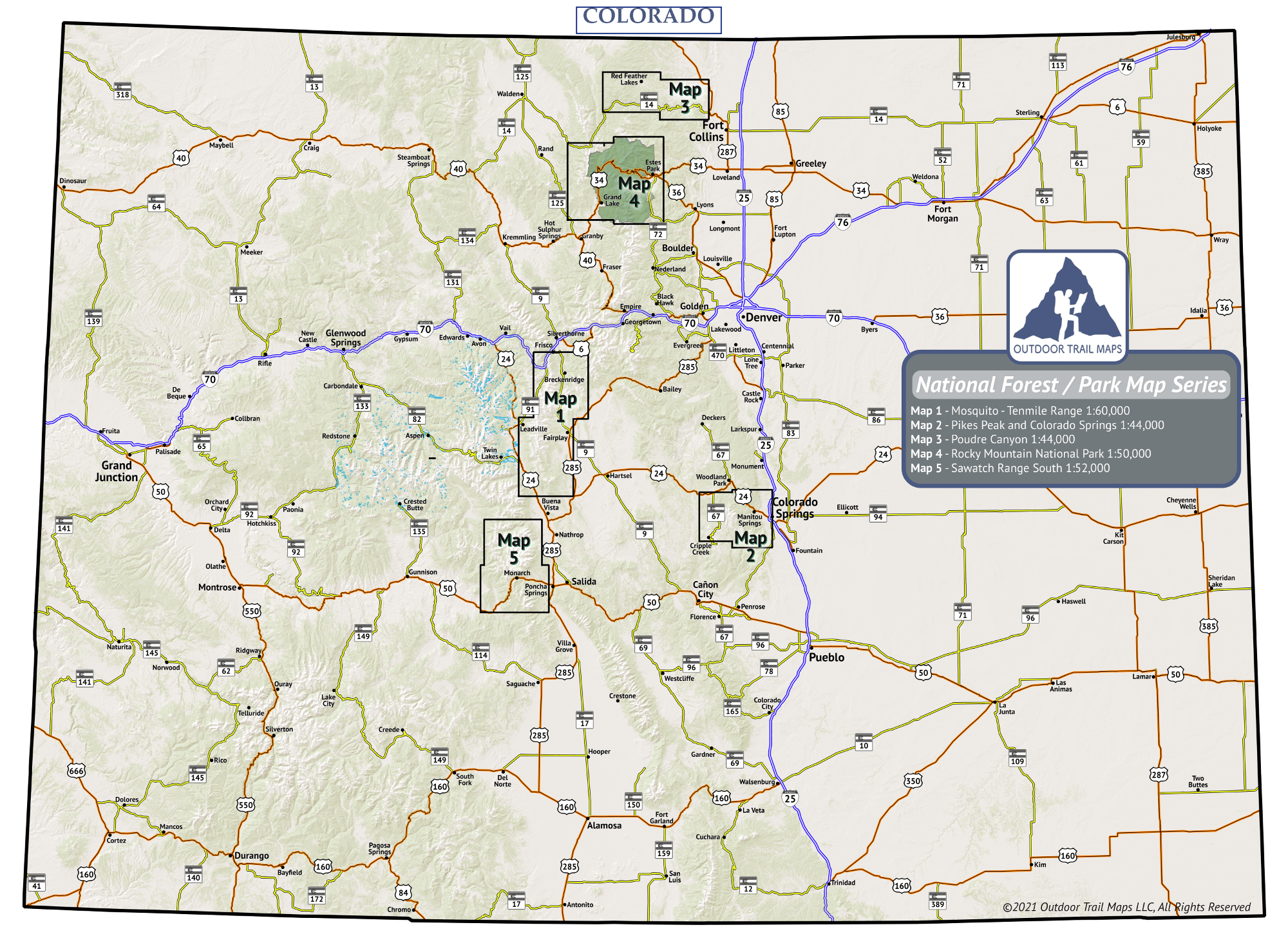
 Poudre Canyon Topographic Hiking Map
1 × $9.95
Poudre Canyon Topographic Hiking Map
1 × $9.95 -
×
 14ers Map 1 of 16: Bierstadt, Evans | Grays, Torreys
1 × $5.95
14ers Map 1 of 16: Bierstadt, Evans | Grays, Torreys
1 × $5.95 -
×
 Sawatch Range South Hiking Map
1 × $9.95
Sawatch Range South Hiking Map
1 × $9.95
Colorado |
 |