-
×
 Lost Creek Wilderness Hiking Map
3 × $8.95
Lost Creek Wilderness Hiking Map
3 × $8.95 -
×
 Colorado Wilderness Series Vol 2
2 × $84.95
Colorado Wilderness Series Vol 2
2 × $84.95 -
×
 Denver / Boulder Area Backpacking Map Set
3 × $22.95
Denver / Boulder Area Backpacking Map Set
3 × $22.95 -
×
 Colorado Wilderness Series Vol 1 and Rocky Mountain National Park
4 × $84.95
Colorado Wilderness Series Vol 1 and Rocky Mountain National Park
4 × $84.95 -
×
 Rawah Wilderness Hiking Map
1 × $9.95
Rawah Wilderness Hiking Map
1 × $9.95 -
×
 14ers Series Complete Map Pack - All 58 Colorado Fourteeners
1 × $69.95
14ers Series Complete Map Pack - All 58 Colorado Fourteeners
1 × $69.95 -
×
 14ers Series Elk Mountains Map Pack
1 × $10.95
14ers Series Elk Mountains Map Pack
1 × $10.95 -
×
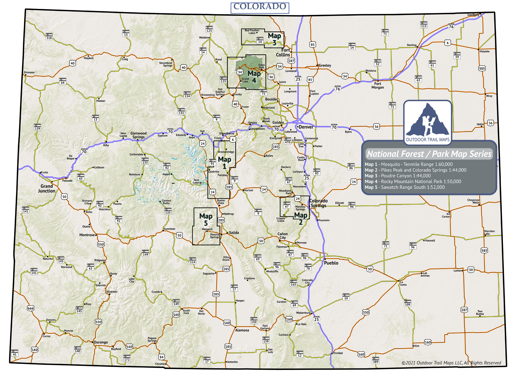
 Pikes Peak and Colorado Springs Topographic Hiking Map
1 × $9.95
Pikes Peak and Colorado Springs Topographic Hiking Map
1 × $9.95 -
×
 Maroon Bells-Snowmass Wilderness Hiking Map
1 × $8.95
Maroon Bells-Snowmass Wilderness Hiking Map
1 × $8.95 -
×
 Rocky Mountain National Park Hiking Map
1 × $9.95
Rocky Mountain National Park Hiking Map
1 × $9.95
Colorado |
 |